It may come as a surprise to hear that there is no truly correct way of representing the earth as a flat image.
The way our planet is represented on a world globe, on a flat paper map or as a flat image on our screens, is related to Projections.
A world map projection is a visual representation of this challenge using a grid composed of lines of longitude and latitude.
Drawing a World map is laying a sphere flat. Mathematical calculations are used to convert the coordinate system used on the curved surface of earth to one for a flat surface. Nonetheless, it is impossible to do so without creating spatial distortions. Therefore, a projection not only means a different mathematical formula but also compromise.
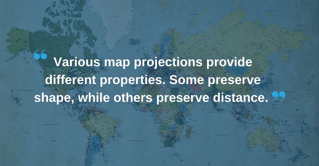
Various map projections provide different properties. Some preserve shape, while others preserve distance. Some preserve area or direction.
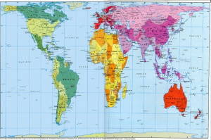
Mercator: Cylindrical projection.
Widely used for navigation charts and most common to our eyes but distortions make areas further away from the equator disproportionately large.
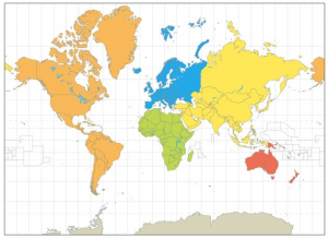
Peters: Cylindrical equal-area Projection.
Shows countries in their true proportion to another but creates distortions on most shapes.
A projection usually accommodates the shape of the area where we are located but did you know that…
- Greenland is smaller than India.
- Africa is 1,8 times bigger than Russia.
- Antarctica is 1,4 times bigger than Canada.
- Latin America is slightly bigger than Russia.